Kavin is driving down the highway, taking a break from the capstone, to spend the weekend on the road to West Virginia. He is cruising the countryside when he sees smoke rising from the thicket.


He pulls over to tip the fire department but realizes he has very low reception. He also doesn’t know where he exactly is. Somehow he gets in touch with the fire department but cannot describe his exact location for the tip. The best option is now for the firemen to track the call to get his rough location.
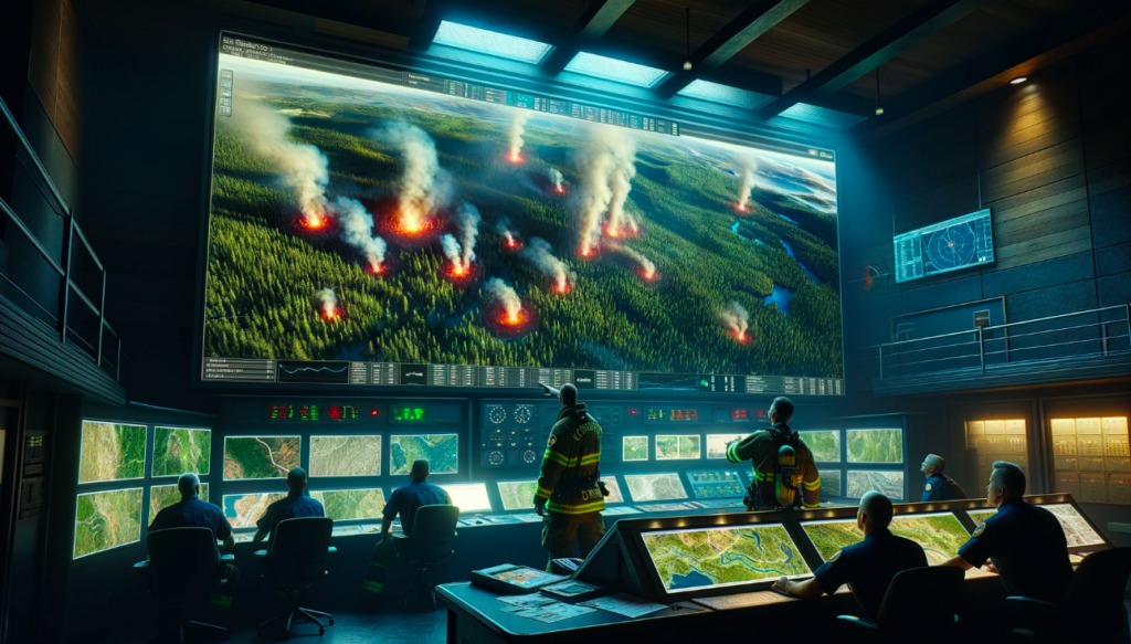
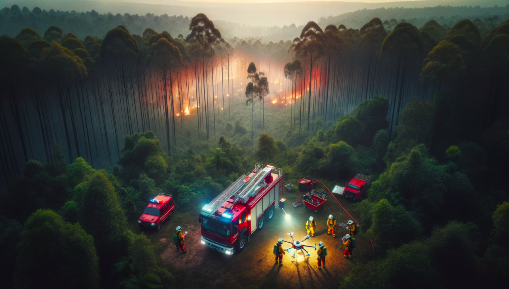
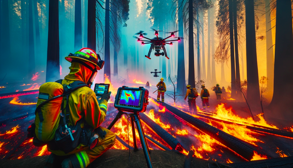
The firemen get the coarse position, and using low-frequency, low-resolution satellite imagery they realize that it’s a forest fire in the initial stages of its breakout. They need to act, fast. They grab Phoenix and head out of the station. Reaching the site, they realize that the fire is already raging. And being sub-canopy in the thicket, they don’t have precise locations or even their own men. This is a disaster for a team of firemen. How do they strategize and ensure safety? They set up a ground station right outside the flames and deploy Phoenix. The firemen also have their own set of portable displays which they use to communicate live information from Phoenix.
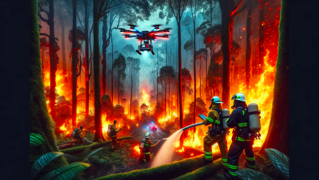
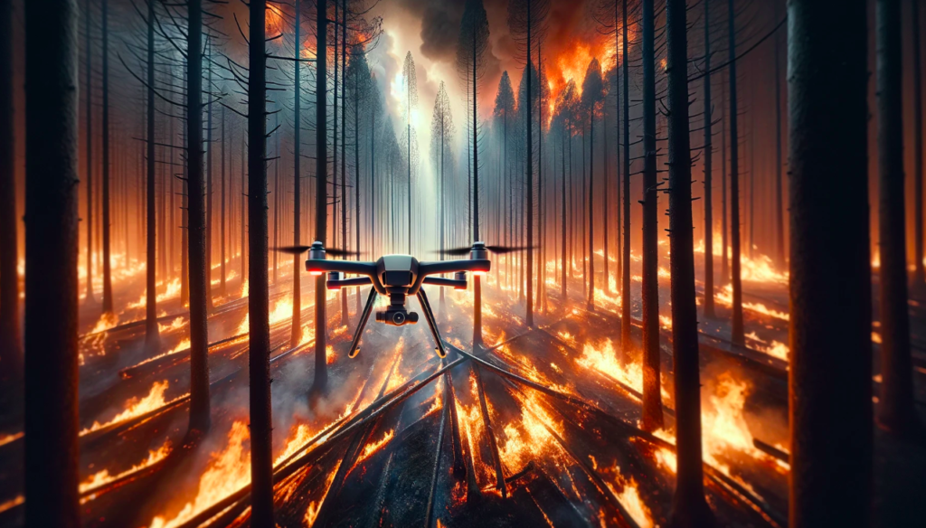
Eye-in-the-sky Phoenix flies through the canopy, giving a birds-eye view to the firefighters while mapping the location, giving real-time meaningful data for strategy and coordination. Phoenix also helps them navigate entry and exit routes, minimizing the risk of entrapment.
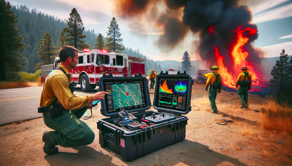
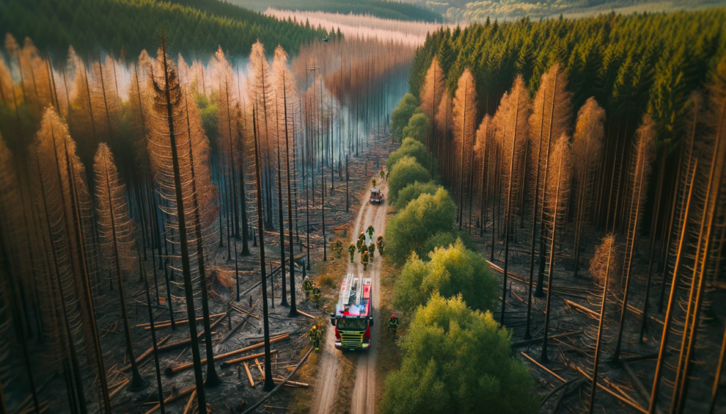
This information is easily accessible to both the active firefighters as well as the chief at the base station, for efficient communication, planning, and crucial decision-making. The custom Ground Control Station (GCS) is designed for portability and is a crucial component of the operation. Teaming up with Phoenix, the firefighters are able to successfully mitigate the fire to a smaller locality, thus saving lives and land.
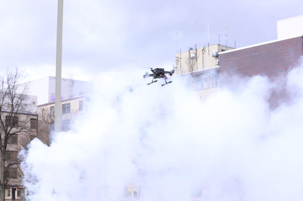
And now… meet Phoenix.