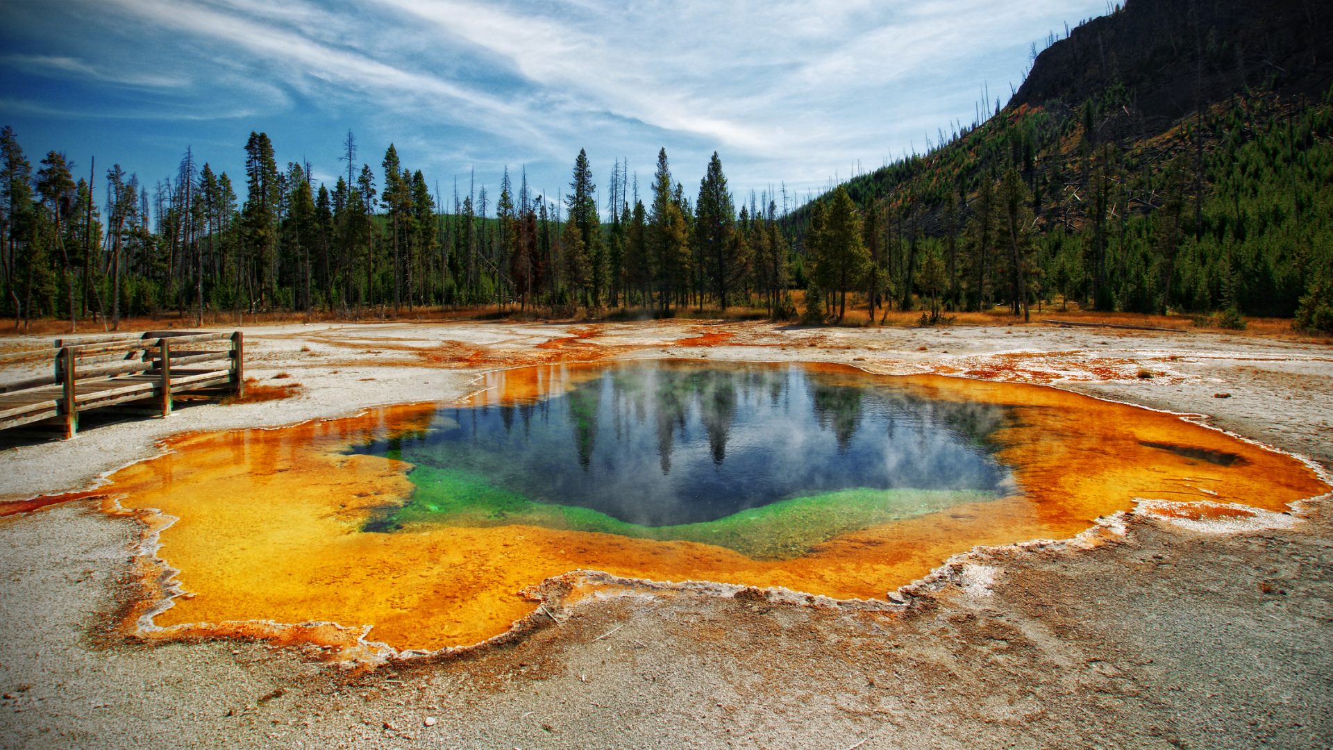
Current existing temperature modeling techniques usually meet the trade-off between poor accuracy and tremendous manual work with limited coverage. Conventional modeling is conducted in a manual way with discretized and limited coverage, which may not provide enough information and require tremendous manpower, especially for large areas. However, sensing from a satellite can cover a wide range of area but with poor accuracy. Robotic automation could improve this situation by providing a more efficient and automated solution with an accurate and continuous map and comparable accuracy. The cooperation of ground and aerial robots could provide better mobility and coverage to improve the efficiency of sampling.
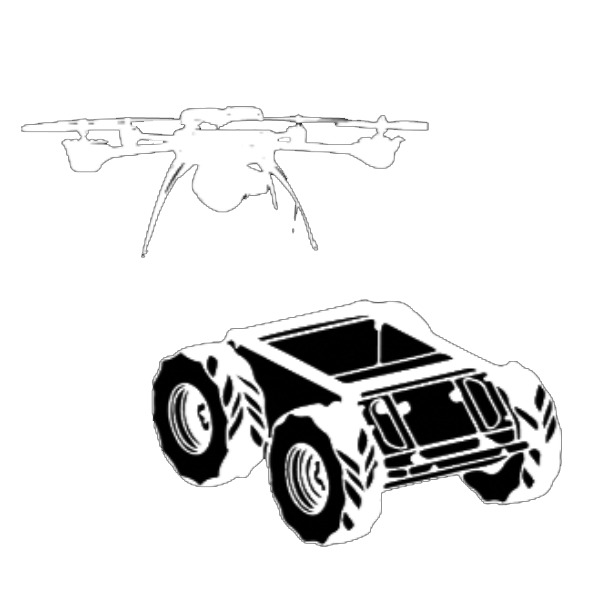
This project aims to deliver a heterogeneous multi-robot system (UAV-UGV) that performs online temperature sampling and modeling collaboratively given an outdoor area with different terrains. The cooperation of two robots will enable them to overcome their physical constraints. For example, the UAV can cover unaccessible aerial areas for UGV. The UGV can produce precise detections in the informative area and can lengthen the working duration. The system will generate a distribution map of the temperature information across a self-defined region of interest to assist environmental scientists monitoring the environmental thermal activities.
View our use case here.


