
Project Description
The moon is a fundamental part of Earth’s past and future. It may hold valuable resources to support further space activity and scientific information that may tell us more about our own planet. The upcoming wave of lunar exploration will be starkly different as compared to the previous generation. (Spudis, 2012) Companies and government agencies such as SpaceX, NASA, JAXA have shown interest in placing a base on the Moon which could be a site for launching rockets with locally manufactured fuel to distant planets. Naturally, humans would be required to stay on the moon in the harsh lunar environment for extended periods.
Intact lava tubes on the Moon could serve as a shelter from the severe environment of the lunar surface such as meteorite impacts, UV radiations and energetic particles, and extreme diurnal temperature variations. They also have proven themselves as reliable structures since they have withstood the test of time for billions of years. Constructing bases in lava tubes could result in significant technological, operational and economic benefits.
It is proposed that some lunar pits might have access to these tubes (Horz, 1985). The geometry of known pits and lighting conditions on the moon make it difficult for satellites to get a high-resolution oblique view of the interior of the pit to determine the existence of an entry to a tube. It is necessary to get up close to the edge of the pit to get the best view of the base.
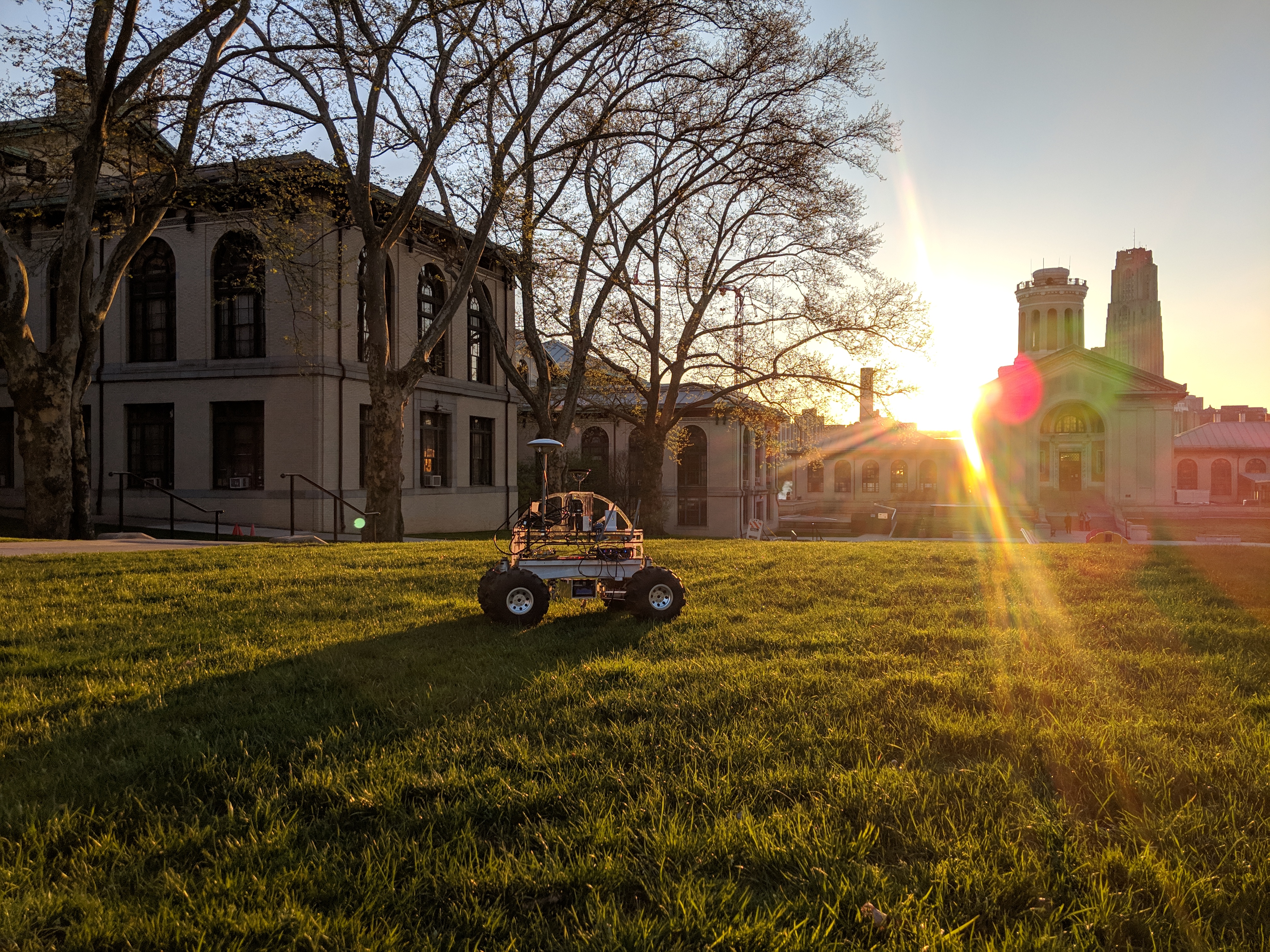
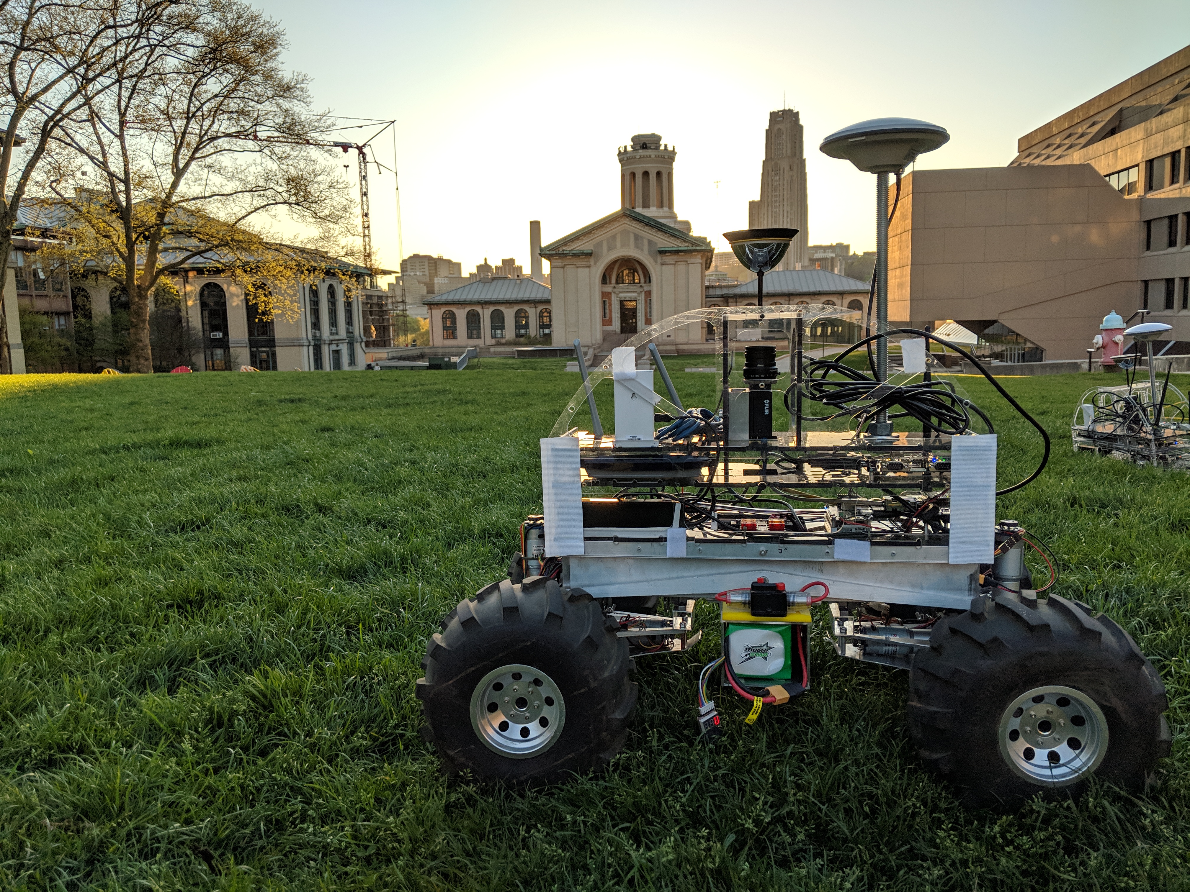
We propose a robotic system that will generate a dense 3D model of the pit by looking into it over its edge. There are various challenges that we must tackle to be able to generate a complete 360-degree interior view. Factors such as solar lighting, dimensions such as depth and width of the pit that affect the visibility and resolution of the images captured, will affect the system.
Any robotic system will be required to traverse around the pit to get a complete 360-degree view of the interior of the pit. To be able to accurately traverse terrain with a known map we rely on GPS on earth, but no such facility is available on the Moon. We aim to develop and implement co-localization between multiple robots to improve the estimate of location got from existing odometry techniques.
To orchestrate these elements together, we will be implementing planning methods to find optimal points around the pit to image it, ensure reliable traversal from lander location on the moon to the pit, and traversal between these points. Since we are using multiple rovers, we also have an opportunity of using variable and wide baseline between the robots to get more accurate depth images of the pit.
This system will thus generate an accurate 3D model of the pits it will be deployed to. These will give us more information to determine the origin, formation and ageing of the pit. Moreover, close up views of the pits will be essential to determine the conditions inside the pit and look for lava tube openings.
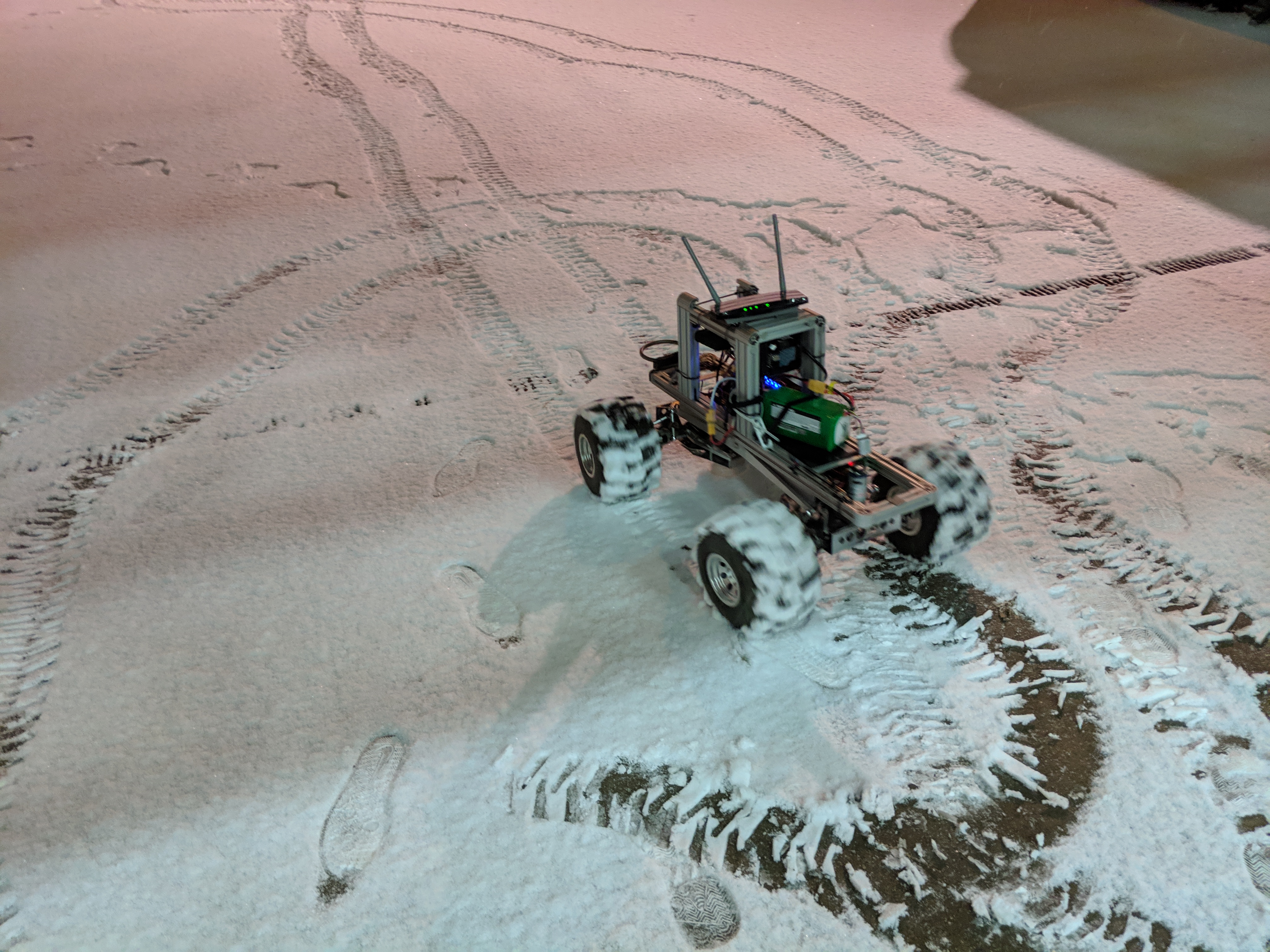
Here’s a summary of our first field experiment designed to quantify the performance of different sensors(visual/ToF) in relative rover observations.
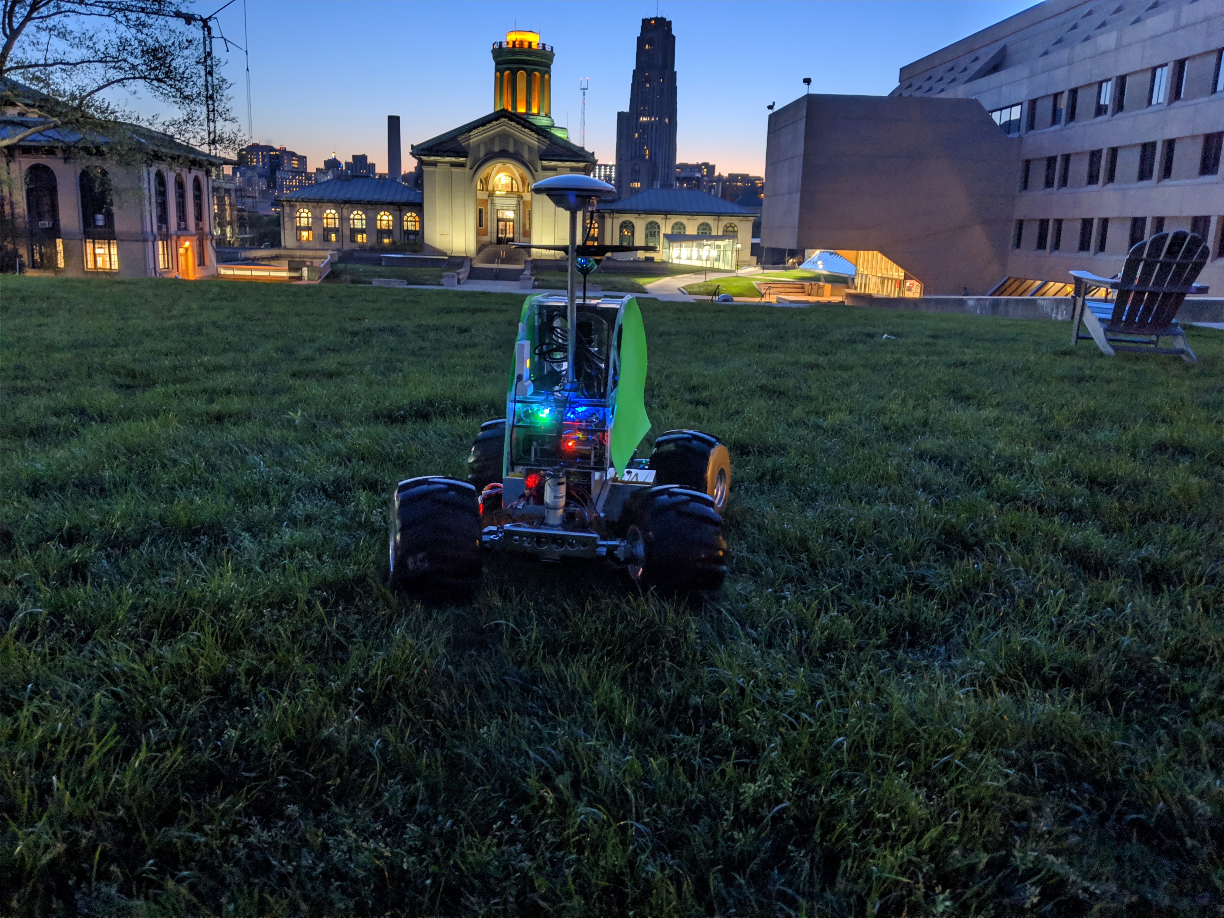
Here’s a video of our Spring Validation Demonstration
Here’s a video of our Fall Validation Demonstration