Test Plan

Spring Validation Experiment


Location: The Mall
Environment: 20m x 20m flat unobstructed area
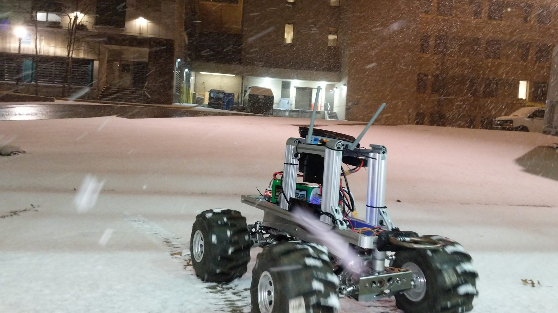
Equipment: 2 Autokrawler rovers, 1 base station (Laptop), 2 Joysticks, 1 WiFi Router


Test 1: Range and bearing measurements


Steps:

  • Place the moving Autokrawler at the starting point around 8 meters away from the stationary Autokrawler.
  • Move the Autokrawler on a predefined path with the joystick.
  • Stop once every 15 seconds to get range and bearing measurements for a total of 20 measurements.
  • The screen at the base station displays the error between estimated range and ground truth range
  • measurements. Reviewers verify this.
  • The screen at the base station displays the error between the estimated bearing and ground truth range measurements. Reviewers verify this.
  • Operator A counts the number of times rover is detected successfully and the reviewers verify that it is detected 90% of the time.
  •  
    Success Conditions:

  • M.P.6 Detect other rovers with an accuracy of 80% up to a distance of 10 meters
  • M.P.7 Estimate relative pose of another rover with an error in Range < 30 cm, Yaw < 4 degrees
  •  


    Test 2: Colocalization capabilities


    Steps:

  • Place both the rovers at their starting location 5 meters apart from each other.
  • Connect both the rovers to their joysticks.
  • Operator A and Operator B start moving the Autokrawlers on their predefined paths.
  • Operator A and Operator B synchronize and stop every 30 seconds for relative range and bearing measurements.
  • Operator C at the base station shows the correction in the path traversed by the two rovers against the ground truth paths and verifies the percentage improvement.
  •  
    Success Conditions:

  • M.P.8 Co-localize with a maximum error of 5% of distance travelled
  •  


    Fall Validation Experiment


    Location: Lafarge Construction Site
    Environment: 20m x 20m mapped area with a Pit like structure and obstacles, slopes
    Equipment: 2 Autokrawler rovers, 1 base station (Laptop), 1 WiFi Router


    Test 1: 3D reconstruction with emphasis on path planning around the pit.


    Steps:

  • Place both Autokrawlers at a known location on the map 5 meters away from the pit.
  • User inputs the location of the pit on the base station
  • A global trajectory and waypoints around the pit are generated for both the Autokrawlers on the base station which can be visualized on the user interface.
  • The user verifies the path and sends command for the Autokrawlers to start navigating.
  • The rovers traverse to the pit, avoiding obstacles to reach the first waypoint of the pit.
  • The rovers navigate within the given accuracy level to the appropriate waypoints around the pit generated by the global plan.
  • Images of the pit are captured which can be visualized on the user interface.
  • Once all the waypoints are traversed, rover signals successful capture of the pit.
  • User verifies the captured images and commands to generate a 3D Model of the pit.
  • 3D Model of the pit is generated on the base station.
  • The accuracy of the above 3D Model is compared with ground truth LIDAR model.
  •  
    Success Conditions:

  • M.P.2 Generate waypoints, at-least 50 cm from the edges of the pit
  • M.P.9 Generate waypoints to capture a 360-degree view of a 50-meter diameter pit
  • M.P.10 Generate a 3D model of the pit with the maximum point to point distance error of 5%

  • Test 2: Planning simulation in different scenarios (Simulation)


    Steps:

  • Operator A loads simulation with obstacles of height > 20 cm randomly distributed on the terrain. The slope of the terrain is also randomly generated.
  • The user commands the system to plan a global path.
  • The system plans the path with avoiding obstacles and steep slopes.
  • Operator A verifies from the screen that the path is completely obstacle free and at no point the slope is above 20 degrees.
  • Operator A also verifies that rovers stay with a communication range of 35m.
  •  
    Success Conditions

  • M.P.1 Plan global path for rovers to be within communication range of 35m
  • M.P.3 Detect, plan locally and avoid objects of height > 20cm, 80% of the time
  • M.P.4 Plan global path for rovers to be within the detection range of 30m
  • M.P.5 Plan global path for rovers to avoid slopes > 20 degrees